Automate predictions and improve your chances in the hunt for weather probes
Weather probes are key devices for collecting atmospheric data and improving weather forecasts. These probes, launched daily worldwide, ascend to high altitudes and gather crucial information like temperature, pressure, and humidity.
The idea of automating predictions emerged during a probe hunt with EB1A. As we approached the site, there was a “sudden silence” — we discovered that the probe had already been picked up. That was when I decided to develop a system to make this task easier, providing accurate predictions and automatic notifications.
And so, HAB Predictor was born.
What is a weather probe?
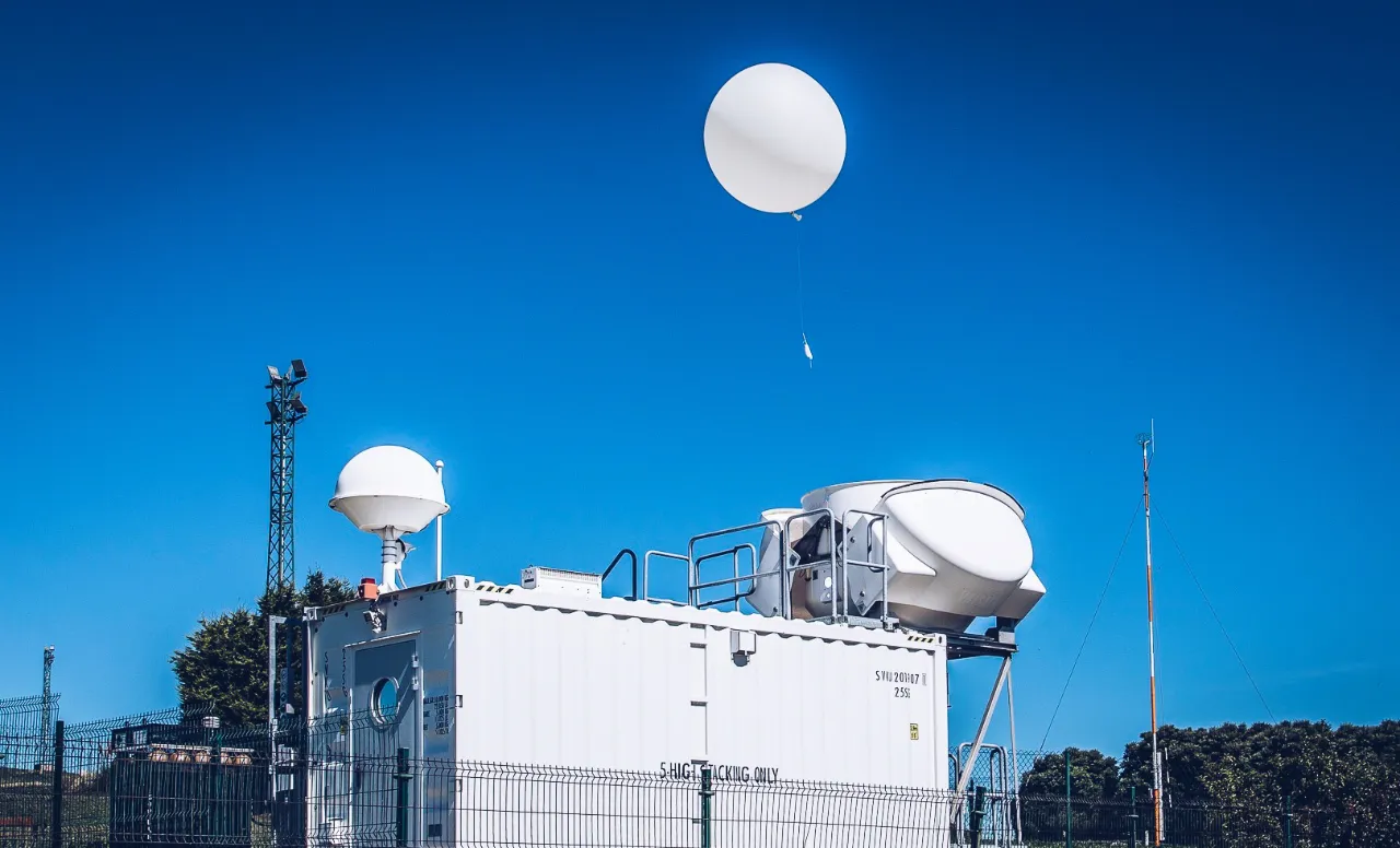
A weather probe is a compact device equipped with sensors that measure essential atmospheric variables such as temperature, pressure, and humidity. These probes are launched into the sky attached to helium balloons, allowing them to ascend to the stratosphere, reaching altitudes over 30 kilometers.

Value 4 value⚡️
If the content has been useful to you, please consider supporting me so that I can create more articles like this. Lightning address (only for Lightning payments): [email protected]
During its ascent, the probe transmits real-time data to ground stations, allowing meteorologists to obtain a detailed view of conditions at different layers of the atmosphere. This data is essential for improving weather forecasts and studying atmospheric phenomena.
The launch of probes is carried out in a synchronized manner worldwide, ensuring global coverage of atmospheric data. This process is vital for modern meteorology and has applications in areas as diverse as aviation, scientific research, and disaster forecasting.
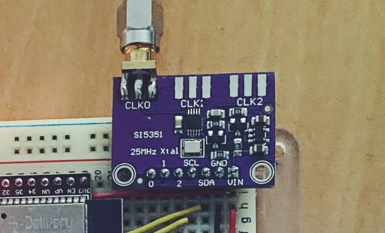
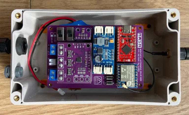
In A Coruña, Spain, two probes are launched daily from Monte de Bens, contributing to this global observation network. The hunt for these probes is a fascinating activity for radio amateurs and other enthusiasts who seek to recover them once they have completed their mission.
The inspiration behind the project
The idea of developing an automated prediction system for weather probes came from a personal experience I had with EB1A, an avid radio amateur. As part of our hobby, we decided to try and hunt a weather probe that had been launched that very morning. Armed with our radios and the hope of locating it, we headed to the expected landing site.
However, as we approached the location, we realized something was wrong. Despite our efforts, we weren’t picking up any signals. After a while of unsuccessful searching, we discovered that someone else had already found and collected the probe just minutes before our arrival.
This small setback led us to a conversation about how we could improve our chances in future probe hunts. EB1A told me about a website that published daily predictions about the probes’ trajectories.
It was then that I realized we could automate the entire process, from data collection to notification of results.
The idea was simple: to create software that, based on available data, could predict the landing spot of the probes. Additionally, this system would send automatic alerts when conditions were favorable, allowing us to be better prepared to “go on the hunt.”
Software description
HAB Predictor is a Node.js application designed to facilitate the prediction and tracking of weather probes. This software automates the collection and analysis of data, allowing users to accurately anticipate where and when probes will land and receive automated notifications when conditions are favorable for their recovery, according to each user’s personal preferences.
Key features
- Automatic data collection of trajectories
The software connects daily to a website powered by the Global Forecast System (GFS) to obtain data on the trajectories of weather probes. This information is crucial for calculating the likely route that the probe will follow from its launch to its landing. - Calculation of distance between base and landing site
Once the trajectory data is obtained, HAB Predictor calculates the distance between your base location (predefined in the software settings) and the predicted landing site of the probe. This allows users to determine if the probe will fall within a radius of interest, making its recovery feasible. - Determination of land or water landing
Through integration with the isitwater API, the software checks whether the predicted landing site is on solid ground or water. This information is essential since recovering probes that fall into bodies of water is much more challenging. - Generation of static maps
To better visualize the landing site, HAB Predictor uses the Mapbox API to generate static map images. These images accurately display the predicted location, making it easier to plan the trip to recover the probe. - Automatic notifications
When certain predefined conditions are met (for example, when the landing site is within a certain radius and on solid ground), the software sends an automatic email notification. This alert includes the prediction results and the generated static map image, so you can act immediately. - Configurability through environment variables
The software’s behavior is fully customizable via a.envfile. Here, you can adjust key parameters such as the latitude and longitude of the launch and base locations, the maximum search radius, and the API keys required for integrations with isitwater and Mapbox.
Daily operation
HAB Predictor is scheduled to automatically run the prediction process daily at 11:00 UTC. At this time, the software retrieves the most recent data, performs the necessary calculations, and, if the configured conditions are met, sends a notification. This daily automation ensures that you are always aware of probe recovery opportunities without needing to intervene manually.
Key integrations
- isitwater API
Determines whether the probe will fall on solid ground or water. - Mapbox Static Images API
Generates static maps to visualize the predicted landing area. - Mailgun API
Facilitates the sending of email notifications based on the prediction results.
How to run the software
If you want to use HAB Predictor for your weather probe hunting activities, the easiest and quickest way is to deploy it on Railway, a cloud hosting platform that offers a free plan. You don’t need prior experience with servers or complicated configurations. Additionally, to make things even simpler, I’ve created a template you can use directly.
Simple option: deploy on Railway
Railway is perfect for beginners or those who want to avoid technical complications. Follow these steps to get HAB Predictor up and running in minutes:
- Create an account on Railway
Visit Railway and sign up with your GitHub account or email. The platform offers a free plan, ideal for this project. - Use the project template
To simplify the process, I’ve created a template on Railway. You only need to click on the link and follow these steps: - Set up environment variables
Once the template is loaded, you need to configure the environment variables for the application to work correctly:- Go to the “Variables” tab of your new project on Railway.
- Add the necessary variables, such as
LAUNCH_LAT,LAUNCH_LON,BASE_LAT,BASE_LON,MAX_DISTANCE,NOTIFICATION_EMAILS,SEND_NOTIFICATIONS, and the keys for isitwater, Mapbox, and Mailgun.
- Deploy the application
With the environment variables configured, click “Deploy.” Railway will automatically handle the installation and execution of the application. - Enjoy the automatic operation
Once deployed, HAB Predictor will start working. You can check the logs in the “Logs” tab on Railway to ensure everything is in order. And that’s it! You’ll start receiving notifications based on the configured conditions.
Advanced option: run on your own server/machine or using Docker
If you prefer more control and wish to run HAB Predictor on your own server, machine, or VPS, follow the detailed instructions in the README of the GitHub repository.
Software demo
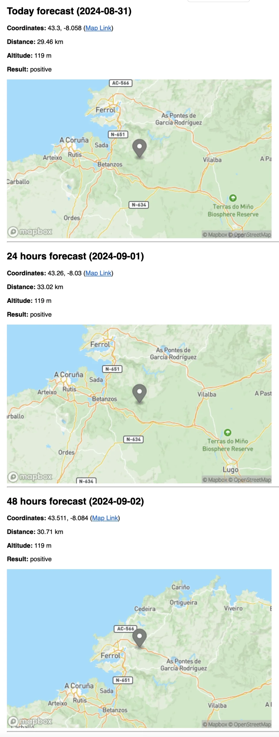
To give you an idea of how HAB Predictor works, I’ve prepared a simple demo that shows a screenshot of the email you’ll receive when the software detects an interesting weather probe for you.
In this screenshot, you will see:
- Coordinates of the possible landing site.
- Distance from your base location.
- Whether the result is “favorable” or “not favorable” based on your configured settings.
- A static map that visually shows the probe’s location, along with a link to enlarge the map.
Community invitation
HAB Predictor was born from a real need to optimize weather probe hunting for an amateur in radio frequencies. By automating predictions and sending notifications when conditions are favorable, this software removes uncertainty and randomness from the process, allowing you to always be prepared and maximize your chances.
Additionally, the software is easy to deploy, even for those without server configuration experience, thanks to the template I’ve created on Railway. This lets you get started quickly, without complications, and receive automatic email notifications whenever there’s a probe worth tracking.
Now, I’d love to hear your thoughts. Have you tried HAB Predictor? Do you have any suggestions or ideas for improvement? I invite everyone interested to leave their comments and opinions. Feedback is essential to continue developing and enhancing this tool.
If you feel like contributing, you are more than welcome to collaborate. You can visit the GitHub repository, fork it, create a new branch, and submit your improvements through a pull request. Every contribution is valuable and will help make this tool even more useful for the community.
Image used in the article is from EB1A